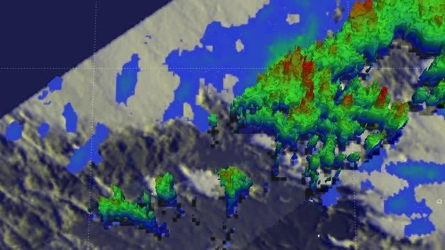
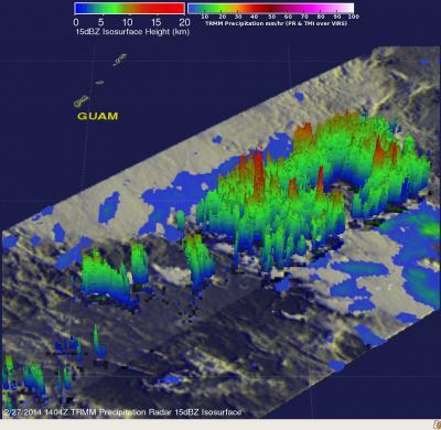
TRMM PR data was used to create a 3-D perspective of the developing tropical low pressure area. The 3-D image showed that convective activity had increased and some towering thunderstorms in the area were reaching altitudes of up to 15.5km/~9.6 miles.
System 93W formed into Tropical Depression 03W early on February 28. By 1500 UTC/10 a.m. EST, the depression strengthened into a tropical storm and was renamed Faxai. At that time, Faxai's maximum sustained winds were near 35 knots/40 mph/62 kph. It was located near 9.0 north latitude and 149.0 east longitude, about 372 nautical miles/428.1 miles/688.9 km southeast of Andersen Air Force Base. Faxai is moving to the north-northeast at 3 knots/3.4 mph/5.5 kph.
The Joint Typhoon Warning Center forecast calls for Faxai to meander in the same area for a day before taking a northerly track. By March 3, Faxai is expected to intensify to hurricane- force over open waters of the Northwestern Pacific Ocean.

NASA/JAXA's TRMM Satellite provided data of developing Tropical Storm Faxai to make this 3-D image that showed some towering thunderstorms in the area were reaching altitudes of up to 15.5km/~9.6 miles.
(Photo Credit: Image : SSAI/NASA, Hal Pierce)

The TRMM satellite data showed rainfall rates increased to 107 mm/~4.2 inches per hour (red) in some convective storms within System 93W on Feb. 27. Some thunderstorms reached altitudes of up to 15.5km/~9.6 miles.
(Photo Credit: Image : SSAI/NASA, Hal Pierce)
Source: NASA/Goddard Space Flight Center